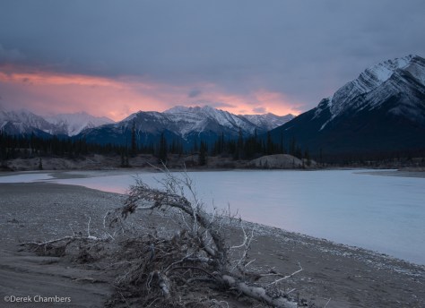
Kootenay Plains
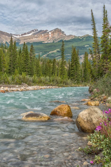
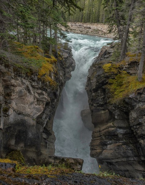
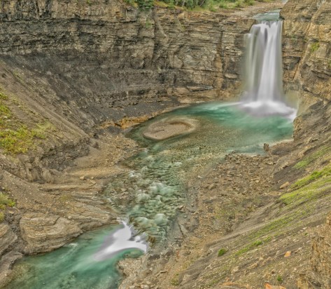
Siffleur River and Falls
The word siffleur is from the French, meaning whistling. The name was chosen because of the sound that the hairy marmots who inhabit the area make when communicating. The Siffleur River joins the South Saskatchewan in the Kootenay Plains.
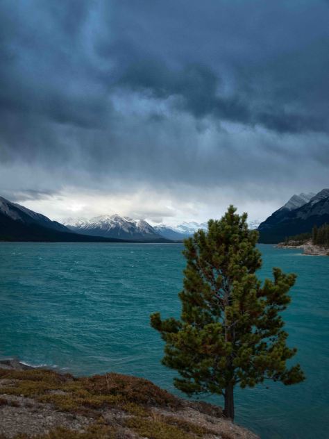
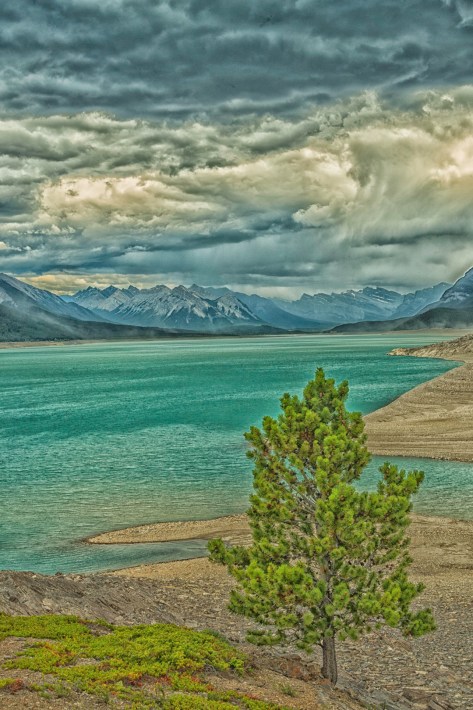
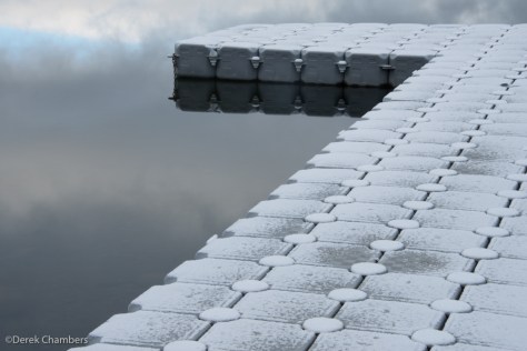
Abraham Lake
Abraham Lake is actually a reservoir created by the Bighorn Dam at its east end. The water is very low in the Spring, slowly filling the lake until the early Fall. In the winter the lake freezes over and many photos have been taken of the methane bubbles frozen into the ice which become visible when a stiff wind blows away the snow, revealing a delightfully smooth and shiny surface.


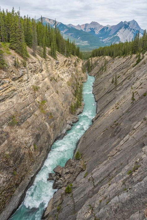
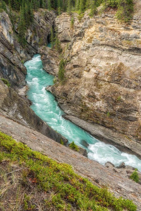
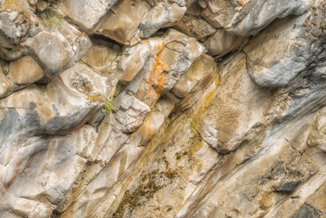
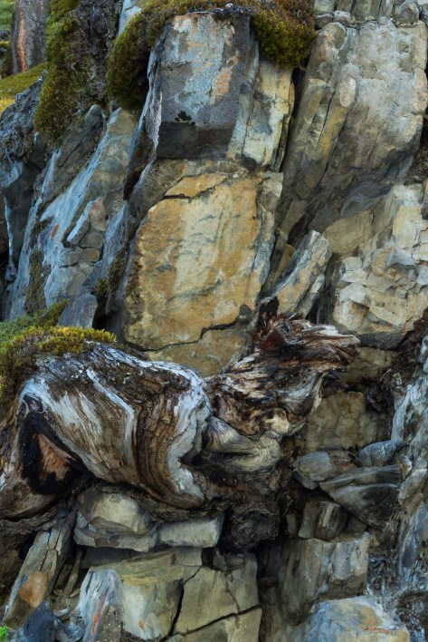
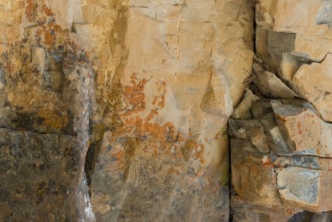
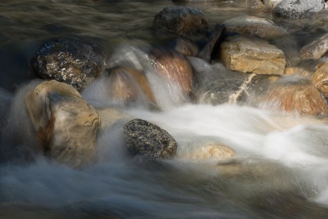
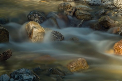
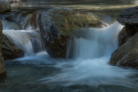
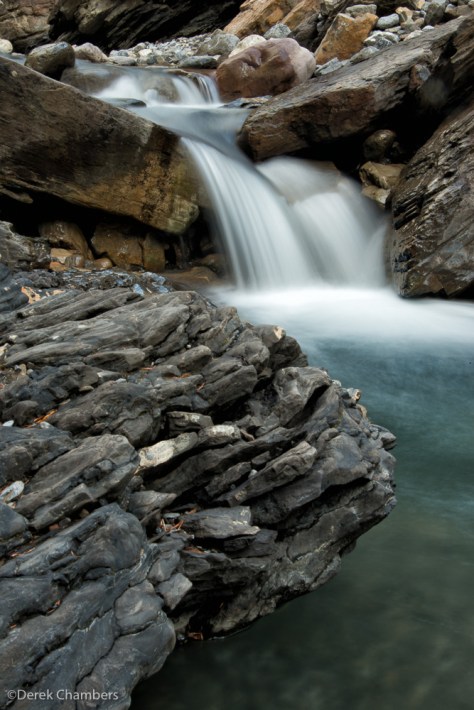
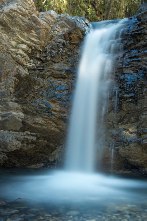
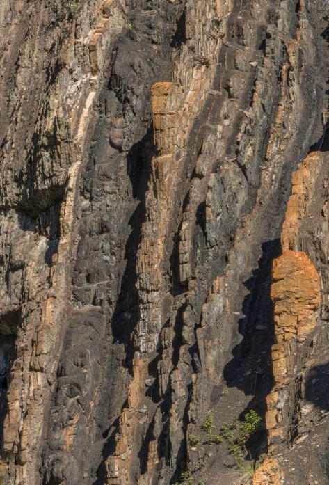
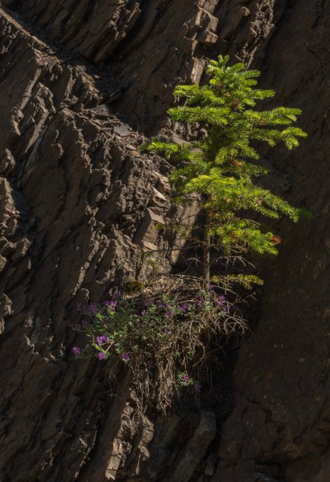
Allstones Creek
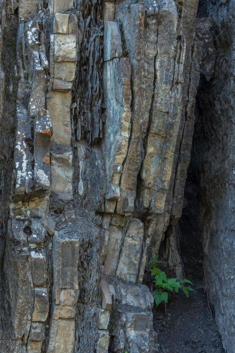
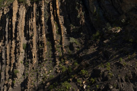
Allstones Creek is reached by a short scramble down a bank on the north side of Highway 11. The creek passes through a culvert and empties into Abraham Lake. Upstream, the creek bed is constrained by extremely tilted rock layers which present a whole range of different looks. About a kilometer and a half from its mouth is a waterfall which blocks further progress up the creek, but to reach it is to pass through countless photo opportunities as well as many stream crossings.
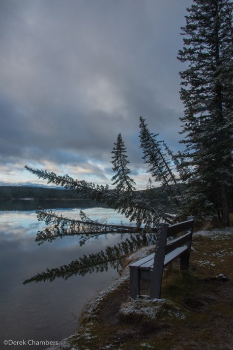
Fish Lake
The turnoff to Fish Lake Park is just to the west of Nordegg. There is a lovely trail which circumnavigates the lake. The images below were made in November, 2014, just after a fresh overnight snowfall. The snow was melting quickly when we arrived in the morning.
Ram Falls Provincial Park
The park is located some 65 kilometers south and west of Nordegg, over one mountain range to the east of Kootenay Plains. It can be reached by following Alberta 40 (also designated 434 Forestry Trunk Road), a good gravel road which travels south and east, hugging the eastern slopes of the Rockies, all the way from Grande Prairie to meet Hwy 22 at Longview well south of Hwy 1.

You must be logged in to post a comment.